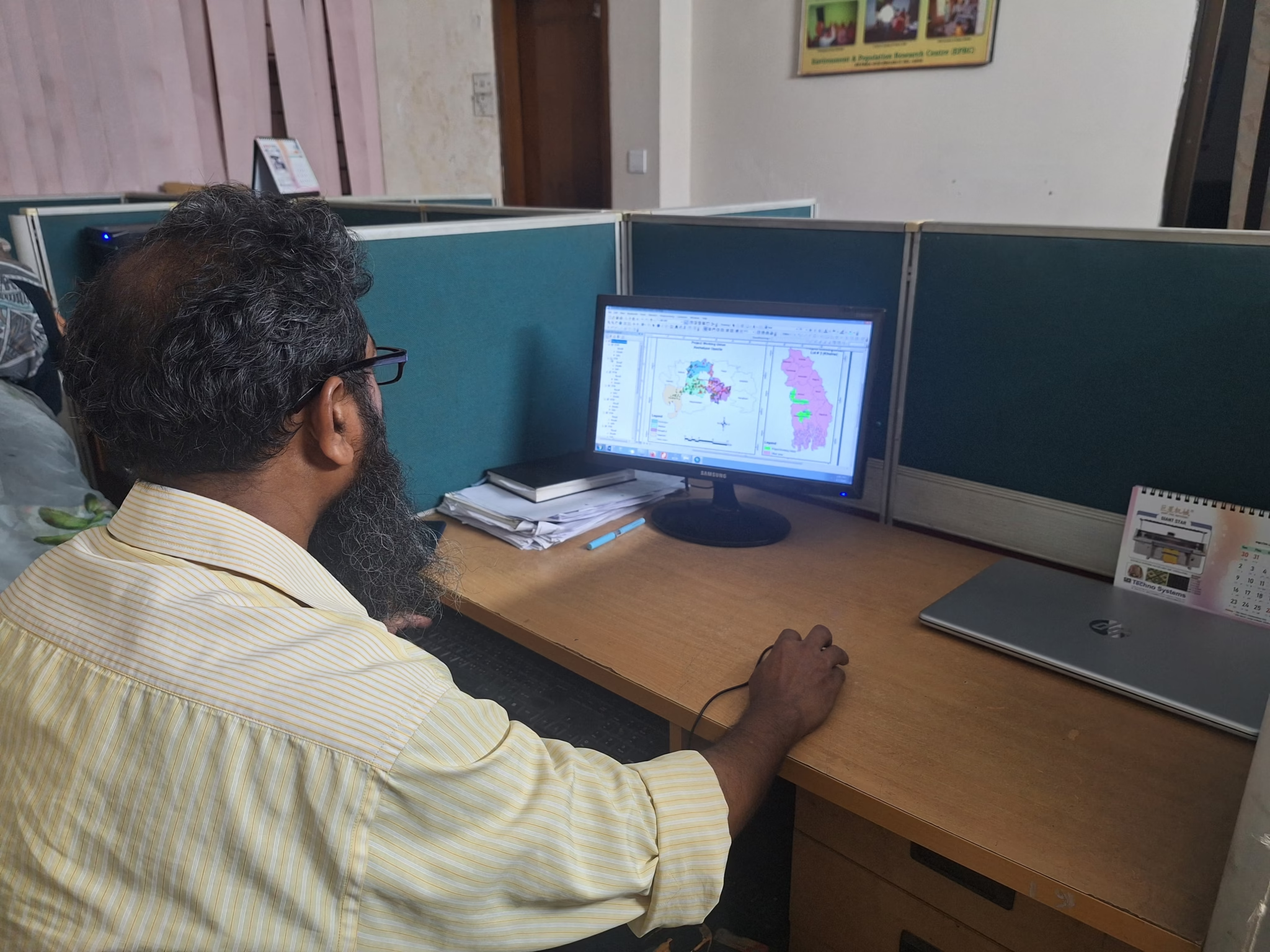
GIS and Remote Sensing
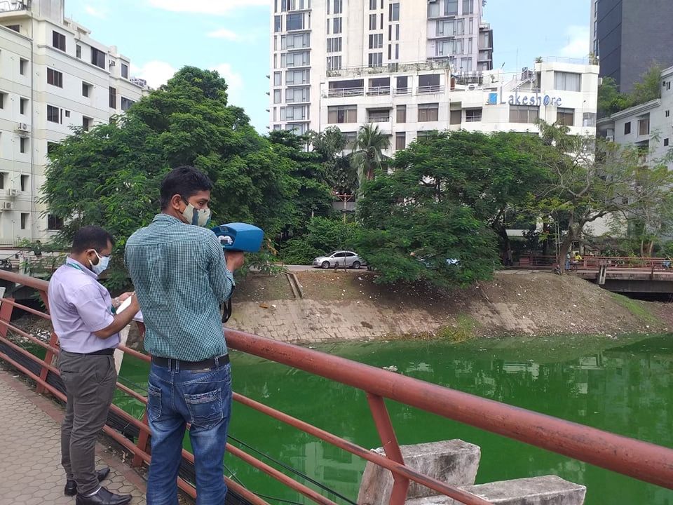
EPRC’s core expertise spans the collection, processing, analysis, and visualization of spatial data from multiple sources, including satellite imagery, aerial surveys, drones, and field-based GPS data. It applies these capabilities across a wide range of sectors, including water resources, agriculture, forestry, disaster risk reduction, urban planning, climate adaptation, and environmental health.
The organization is proficient in spatial modeling, land-use/land-cover mapping, flood and erosion risk assessment, watershed management, and habitat monitoring, integrating GIS and RS outputs with socio-economic and environmental datasets for comprehensive planning and monitoring.
Facilities Available
- Geographic Information System (GIS) mapping and spatial analysis
- Remote sensing data processing and interpretation
- Land use and land cover (LULC) mapping and change detection
- Climate and disaster risk mapping
- Water resource and watershed mapping
- Environmental health and WASH planning
- Environmental monitoring and impact assessment
- Natural resource and biodiversity mapping
- Socio-economic and demographic spatial analysis
- Infrastructure, service coverage, and accessibility mapping
- Field data collection using GPS and mobile-based tools
- Spatial database development and geospatial data management